| GEORAD3D Hubert Byzdra | |
| 26-610 Radom, ul. Nowogrodzka 5/s-3 | |
| +48 363 58 43 | |
| scan3d@georad.com.pl | |
| georad3d.com.pl |

ABOUT COMPANY
Georad3d specializes in 3D laser scanning, drone photogrammetry, and BIM modeling. We deliver advanced spatial measurements for construction, industrial, and heritage sectors. Our precise technical documentation supports design, renovation, modernization, investor supervision, and inventory processes. The digital materials we provide accelerate project and implementation work, enabling accurate representation of existing structures and their analysis in a 3D environment.
KEY PRODUCTS
3D laser scanning
BIM modeling
Drone photogrammetry
Industrial and construction surveys
PROCESSES
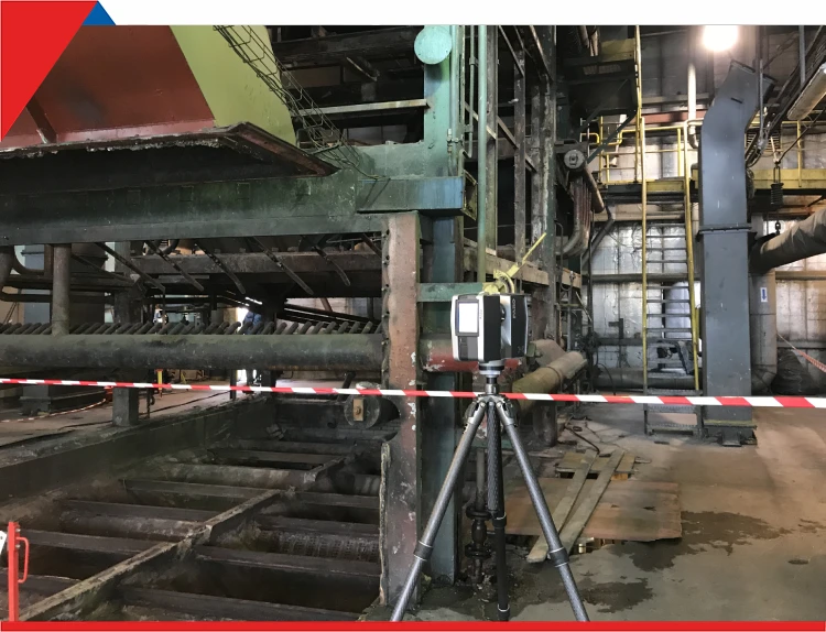
We acquire data using 3D laser scanning and drone photogrammetry. We process point clouds through registration, filtering, segmentation, and classification. Our workflows result in BIM models, cross-sections, floor plans, and technical 2D/3D documentation. These processes support design, inventory, geometry analysis, and condition assessment.

